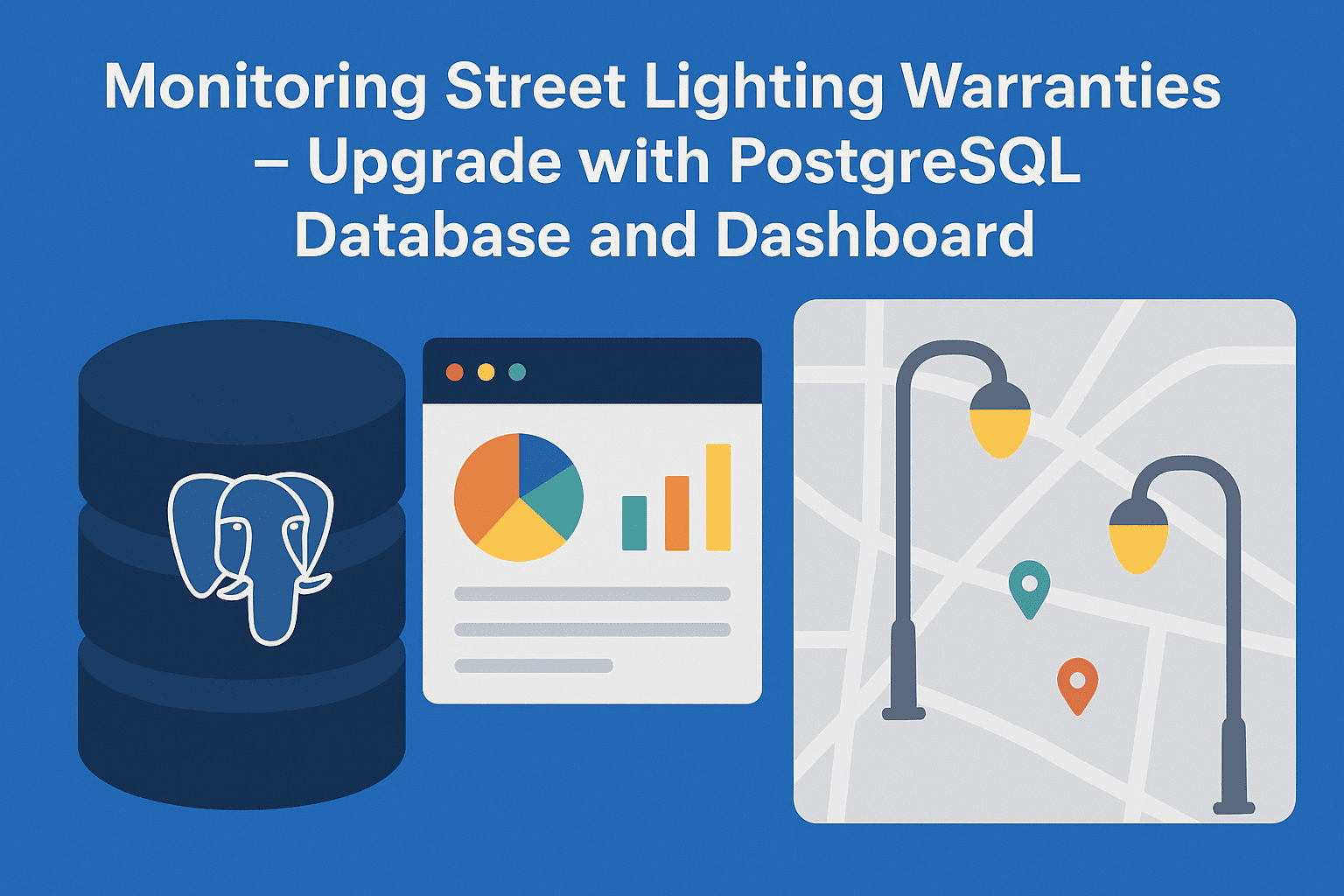
Street Lighting Warranty Monitoring – PostgreSQL Upgrade with Interactive Dashboard
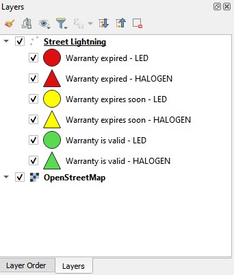
📝 Introduction Street lightning warranty monitoring is essential for improving maintenance planning and reducing operational costs. In my previous post Monitoring Street Lighting Warranties in QGIS, I showed how to…